
by: Rick Johnson 
PO Box 40451
Tucson, Az.
85717
RikJohnson@juno.com
Back to the Atlas main page.
Back to the Contents page.
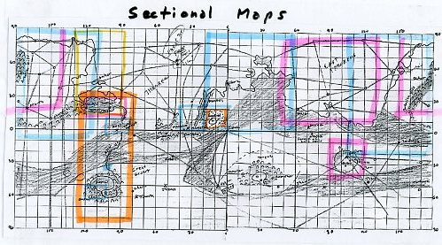
Sometimes, we don’t want to see a grid map but a complete map of a specific area. This page meets those requirements. Some of the more interesting and well-known areas are shown here.

The Great Desert. I've always wonders why the River Iss was uninhabited. It cannot be totally because of religion for somewhere there will be someone who will think, "bleep it! I'm tires of struggling and will move onto a source of fresh water!"
The maps did show a large almost uninhabited area surrounding the Iss, the Warhoon Hoard to the west and .. nothing to the east.
Then Den Valdron wrote a story where he describes a desert so empty that not even the Green men live there. That was it! This must be the Great Desert.
Note that this map is an old one from the viewpoint of the Red Men who have not updated their maps as to Korus or Ghasta.


U-Gor province. I recently did a story about U-Gor, that part of Jahar where Tul Axter encouraged overbreeding until the place was overrun. To do so I needed a map of the area so I printed all the MOLA maps of that area, traced the old shoreline along the torquas basin and them red-marked every feature to create this map of U-Gor:

It is interesting to see how this map actually, like many, fits withthe description given by Burroughs in A Fighting man of Mars.

Amhor, as has been said, was once an island nation, now but a plateau in the Throxus seabed. Here you see her neighbor to the south, once another island that protected the Toonol Bay, now another rise in the desert. Plus the line of waterways at the north that become clear when you observe the Polar Map of Okar.

This map is incomplete for though it shows the Hills and the waterways, it ignores the coastlines to the east. Perhaps the people of Duhor didn’t feel that was important enough to mark.

Dusar was a world power in the days of sail as she controlled the main seaway between Torquas and Throxus. Today, still powerful, she is a remnant of her former glory.

Is there any place more famous and less-known than the Valley of Helium? Known as the home of the Prince of Helium, John Carter and his incomparable Princess Dejah Thoris, their main attraction are the twin-towers, one in Greater Helium, the other in Lesser helium seventy-five miles away, both stretching a mile into the Martian sky.
Primarily an asteroid impact, the nickel-iron visitor provides wealth to the Helium iron mines. To the northwest along them crater rim is a moisture-trap that provides enough water to allow for not only the usual mossy-fern forest but here, real trees including Skeel. As a hub for local waterways and the last civilization in that quadrant, Helium is a jewel in the desert, her southern and eastern neighbors being Green Men or subject cities she needs a strong military to even survive.

Horz, once the capital of the Orovar race, is now a dead city, home to white apes. Yet, she lives on for the cartographers of Barsoom still list Horz and her southern sister Exum as the starting point for the Barsoomian latitudes. It is said that all maps start at Exum, all culture from Horz.

This sectional shows a number of interesting places. First is the forest of Manator, watered by the Bantoom hills in the west which steal moisture from the Jet-stream and direct it down to water the Forest of Manator where Jetan is a passion and lives and fortunes are lost in the game.
To the west are the Hills of Bantoom where the insect Kaldanes build their towers and prepare for the death of mars in their own way, the valley fed by the same streams that feed the Forest of Manator.
Beyond Manator lies the southern end of the Valley of Kamtol, once an offshore deepwater trench, now low enough to form a real forest and home to an offshoot of the Black Pirates of Omean.
And beyond lies Gathol, once an island, now a hill in a salt marsh.


Her we see the lands of Ptarth. Protected on the west and south by hills, the north by the icecap, only from the east is Ptarth vulnerable. Once Ptarth ruled this entire area, today, she is reduced to a few cities and waterways, yet remains one of the great powers of Barsoom.

This is taken directly from the map by Burroughs with the addition of a couple waterways and the location of the Green Hoard of Thurid. Once an asteroid impact crater, Torquas filled with water to become one of the five Oceans of Barsoom.

Zodanga was once a super-power, conquering all along the waterways that connected her from the iceclad north to the icebound south. Today she is subject to Helium.
Back to the Atlas main page.
Back to the Contents page.

To contact me or to request topics to be covered, send to RikJohnson@juno.com
by: Rick Johnson
PO Box 40451
Tucson, Az.
85717
