A mining community sprung up along the Gila River in eastern central Arizona in the late 1800's. In 1882, the Pinal Consolidated Mining Company built 5 beehive charcoal kilns on the side of the mountain on the north side of the Gila River. This area became a stop on the Phoenix and Eastern Railroad. The town continued to slowly grow. In 1904, a post office was built. The town was named after the second postmaster, John S. Cochran. The town probably never ha more than 100 residents, but it did have a mercantile, rooming house, and some other businesses. But in 1915, the post office was closed. The town soon completely vanished. All that remains today are the row of five kilns, across the river from the origial townsite. In Arizona, the only kilns left are at Cochran (5) and Walker (1).
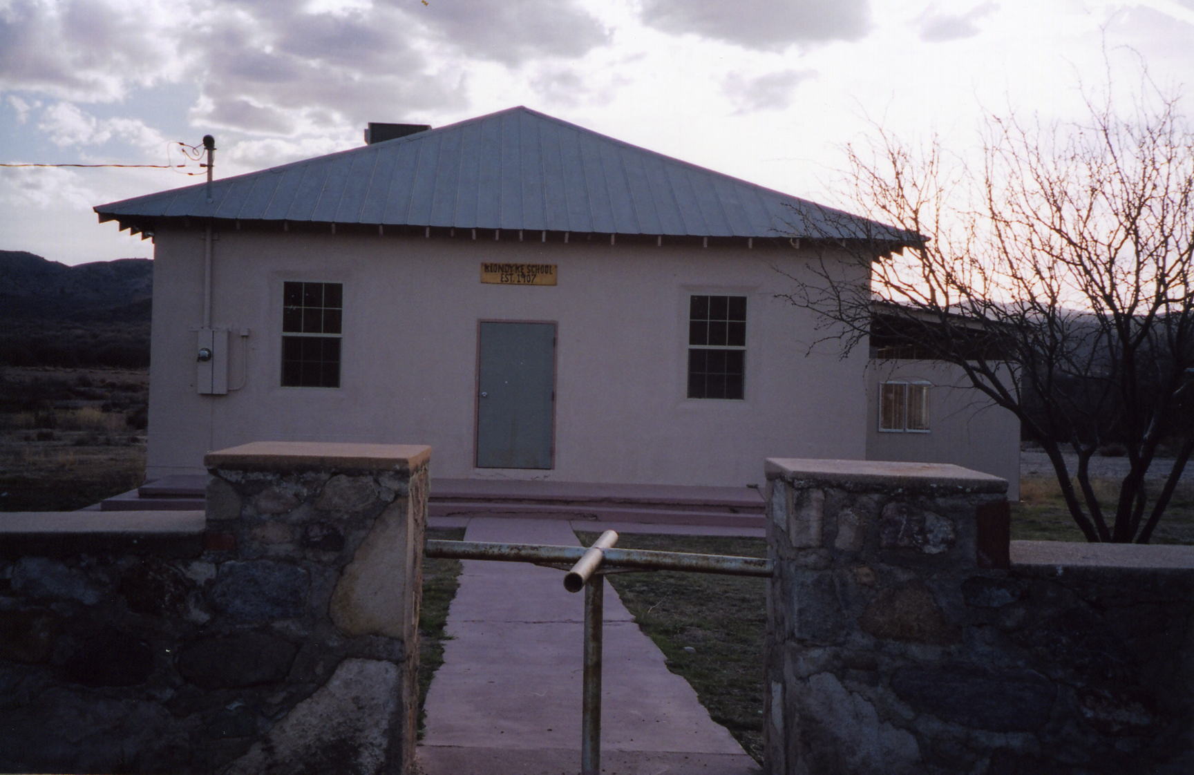
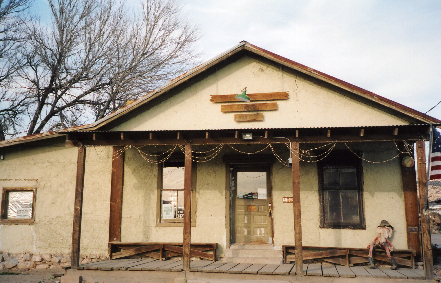
Klondyke was founded around the turn of the century by prospectors returing from the Yukon Territory gold rush. They hoped to improve their luck by naming their new claim after the famous gold fields in the Yukon. Although their claims didn't yield any gold, they did produce silver and lead. A store and saloon were soon built. In 1904, the general store was bought by John F. Greenwood. It soon burnt down. He built a new one out of adobe and opened a post office up inside. The town also had a church and a school. At one time Klondyke had 500 residents. The population gradually declined. In 1955, the post office was closed.
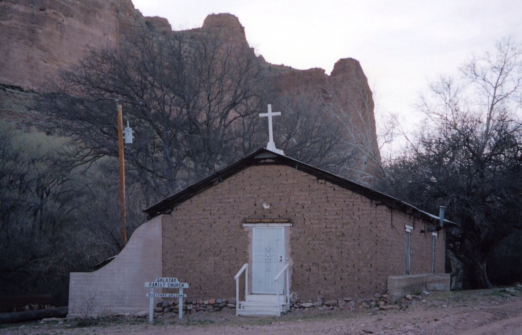
Today, the adobe general store is still standing and still operates. The old school is still standing across the road from the store. Also standing is the Salazar Family Church. It is 7 miles on further down the road, but this adobe church is worth a look.
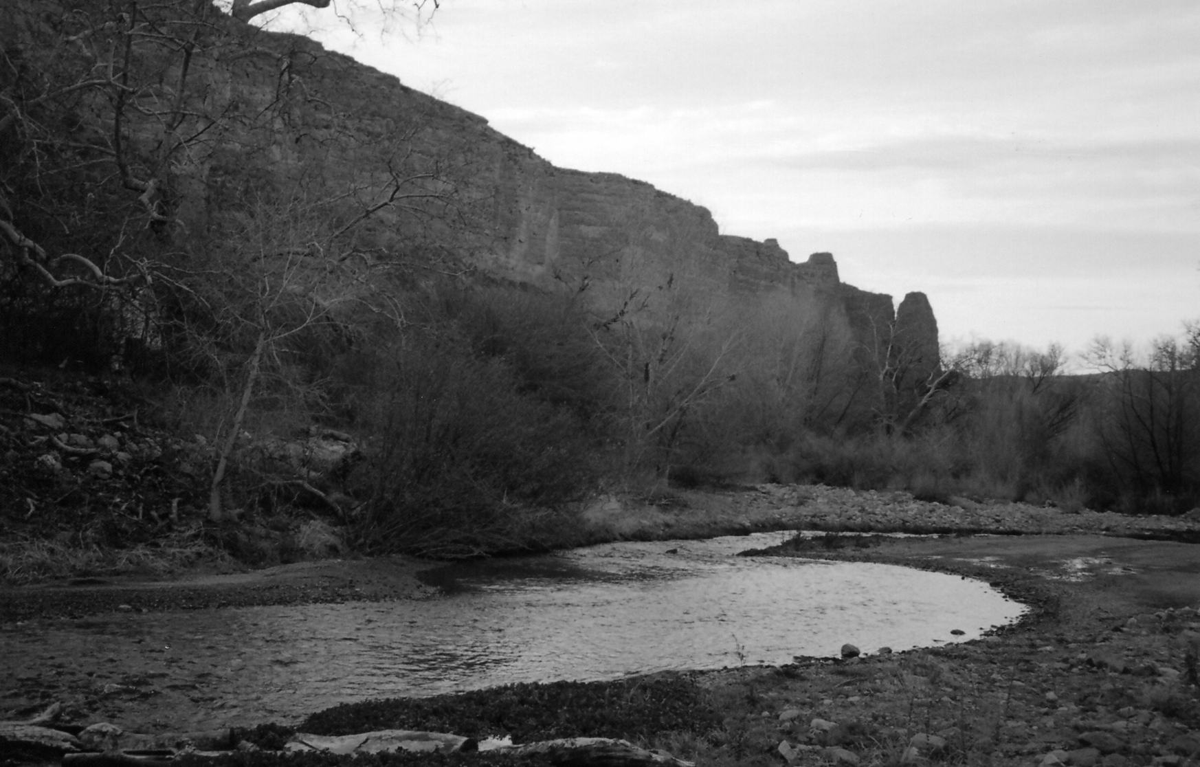
To get to Klondyke, start in Safford. Take Highway 70 west past Pima (Safford to Pima-10 miles). Go about 5 or 6 more miles to the Klondyke sign. take a left here. Go about 24 miles to the fork in the road. Take a right and go 7 miles ot Klondyke (there are signs at the intersection). To get to the Snchez Church, continue on for 7 more miles. About a mile or so after you cross Aravaipa Creek, you will see the church beside the road. The creek usually has water in it, but it isn't usually very deep (under a foot). A high clearance vehicle isn't necessary under normal conditions, but may be wise (especially if going to Salazar Church).

To get to Cochran, start in Florence. Take the Florence-Kelvin Highway east for about 17 miles. When you get to an area with huge granite boulders (seemingly out of place compared to the rest of the surroundings), take a left. Stay on this road for 13 miles to the townsite. You will know you are on the right road if you pass a windmill on your right at about 8 miles. You will see the kilns on your left as you get within a mile or so of the townsite. It is probably best to have a high clearance vehicle for this trip.


