| |
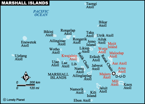
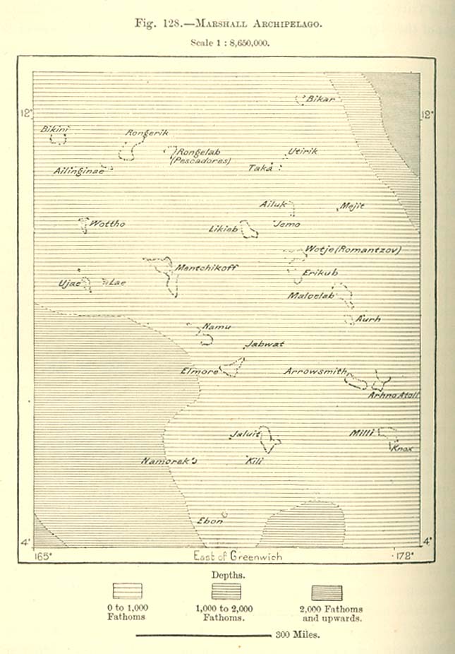
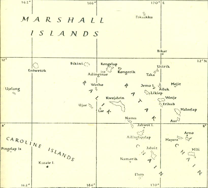
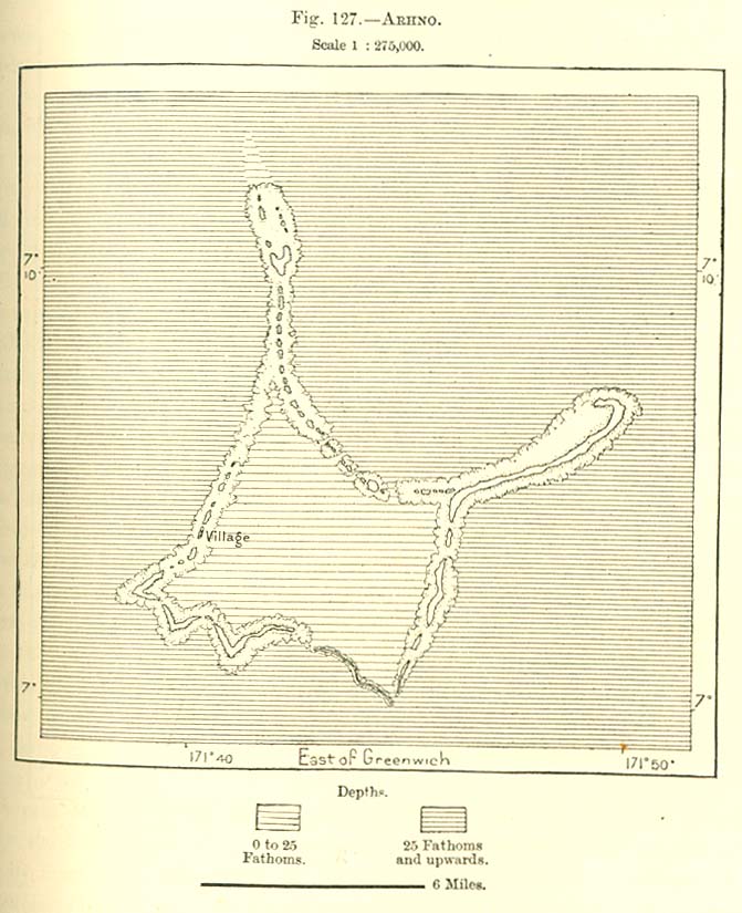
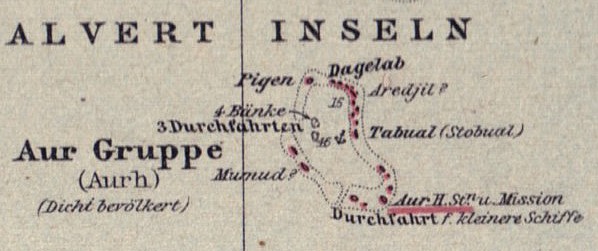
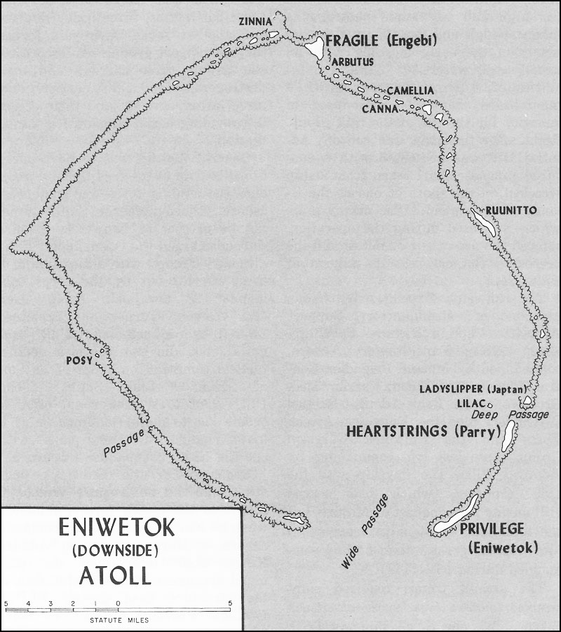
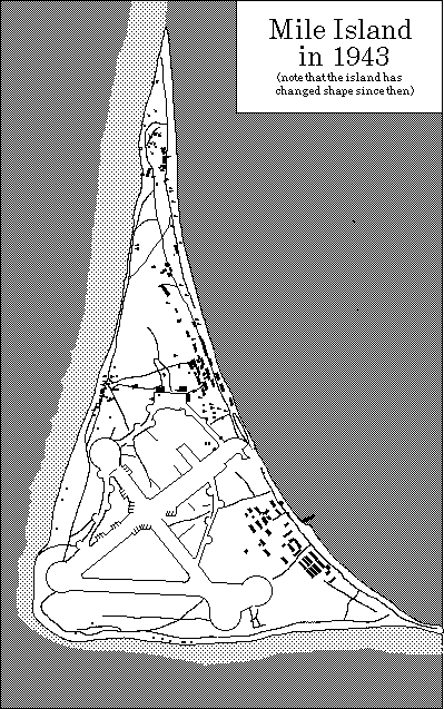
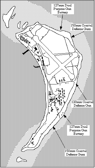
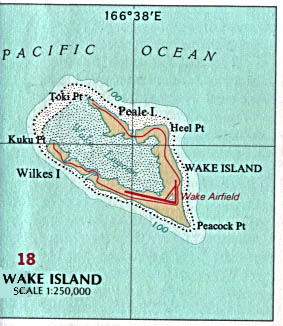
Location of the Marshall Islands in the world mapLocation of the Marshall Islands in the world map by Maps of the WorldLocation of the Marshall islands in Oceania (Australia)MarshallYou can also see Asia and China Marshall Islands map and profile Very large and detailed map General maps of the Marshall IslandsGood detailed mapIn this map you can see the islands or atolls of: Bikar,Taongi, Utirik, Mejit, Maloelap, Mili, Jaluit, Ebon, Namorik, Namu, Ujae, Likiep, Kwajalein, Rongelap, Taka, Rongerik, Bikini, Enewetak, Knox,Erikub, Ebeye, Wotho, Ailinglapalap, Ujelang, Majuro and Kosrae from the FederatedbStates of Micronesia Marsall Island drawing In this map you can see the islands or atolls of: Bikar,Taongi, Utivik, Mejit, Maloelap, Jaluit, Ebon, Namorik, Namu, Ujae, Likiep, Kwajalein, Rongelap, Taka, Rongerik, Bikini, Enewetak and Ujelang General map City population Click on the island and it will tell you its population (over 400 only). General map showing the atolls By Lonely Planet Marshall Archipelago historical map Old map showing the Ratak and Ralik Chains You can also see the Carolina Islands Another map of the Marshalls showing also the capital of Majuro Individual maps of the Marshall IslandsAilinglapalap AtollAiluk Atoll Information and map Ahrno old map shows the location of the village Aur Atoll Historical map of Aur Bikar map and information Bikini Atoll Reference facts information and maps Enewatok Atoll With the passages and the channels Enewetak Very detailed map of the towns of Namur and Roi Jaluit Atoll Very large file but very detailed Historical map of Kwajalein Atoll, 1893 Kwajalein atoll very detailed, hard to read Kwajalein Map of the Kwajalein Dive Sites Dave Fortin's Kwajalein Dive Sites- interactive map with info of diving sites Lib Island Name, population, land area included Likiep Atoll Environmental and historical data plus photos Historical map of Likiep Atoll, 1893 Likiep Atoll Environmental, historical data, plus map and photos Majuro map With names of places, restaurants government buildings and more Majuro Atoll tourist map also downtown attraction sites Majuro Atoll and its districts Maloelap Atoll Maloelap and Aur atolls - Historical maps Airstrips and trade stores included More recent map of Maloleap Environmental, historical data, plus map and photos Mejit Atoll Marshall Islands Atoll Information and Mejit Island information Mili Island World War II map Namorik Atoll From Wikipedia the free encyclopedia Historical map of Namu, 1893 Atoll map of Namu Historical map of Ujae, 1893 Historical map of Rongerik, 1893 Rongerik War map Ujelang Atoll Environmental, historical data, plus map and photos Wotho Atoll Wotje Atoll Marshall Islands historical map World War II map. Japanese occupation Ujae Atoll Enenkio Atoll Rongelap Atoll Historical map Utirik Atoll Wake Island Historical map |
||