| |
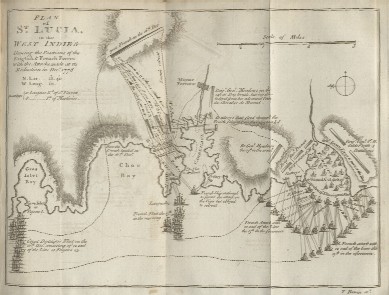
Location of the islands in the CaribbeanCaribbean map that shows the location of St-LuciaAnother Caribbean map that shows the location of St-Lucia They put a star for location Complete Caribbean map General maps of St-LuciaSimple map with the main townsLonely Planet map with information It shows Maria Island and Pigeon Island National parks Caribbean on line map Very detailed tourist map It shows Maria Island and Pigeon Island National parks Looks like an old map main towns are located It shows Maria Island and Pigeon Island National parks Very detailed map Caves, fishing, marine fuel, archaelogical sites and more are indicated Political maps of St-LuciaMap showing political divisionsCastries, Anse-la-Raye, Dauphin, Choiseul, Gros-Islet, Dennery, Micoud, Laborie, Soufriere, Praslin, Vieux-Fort, Political divisions and information about the island We can see the 11 quarters Other maps of St-LuciaMap of the town of CastriesMap of Soufriere Street map of Soufriere Geological map of Saint Lucia Blank map of St-Lucia Historical maps of St-LuciaHistoric Maps » St. Lucia. by Jefferys, Thomas from 1775Historical map of St-Lucia Another historical map, hard to read |
||