Maps and Satellite Images

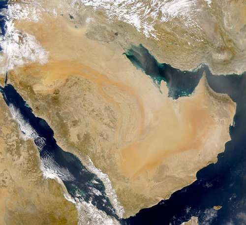
Various maps and satellite images of the Yemen mailand (and Socotra), collected from other websites . . .
Note: Only one caption accompanies a map here (see bottom of page) as most are pretty self-expanatory.


At right: A large map of Socotra (published 1886).
Click on the thumbnail to enlarge five times, to 850x1085 pixels (103kb).
Bait Baus | Kawkaban / Shebam | Sana’a | Socotra people | bird list | wildlife links | maps | home
© 2005 Happy Travails ~ No Regrets Travel, Inc.